- 89 Middle Renwick Road
- 03 579 2906
- office@ayson.co.nz
Ayson Survey + Gallery
Project Gallery
A few images of the Marlborough region surveys and projects
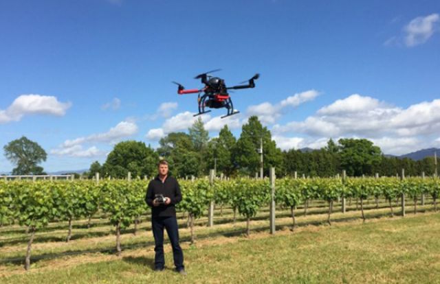
Drone (UAV) Surveying
Drone (UAV) SurveyingDrone (UAV) surveying allows us to generate up-to-date aerial imagery and high definition video in a short turn-around
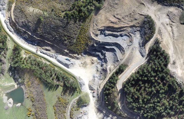
Read MoreOrthorectified Photography
Orthorectified PhotographyOrthorectification is the process of removing the effects of image perspective (tilt) and relief (terrain) effects for the purpose of creating a planimetrically correct image.
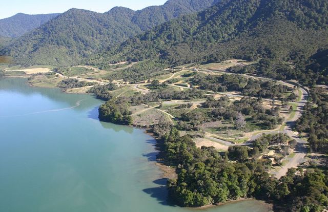
Read MoreKaiuma Subdivision
Kaiuma SubdivisionKaiuma Bay subdivision is located in the head of the Pelorus Sound in Marlborough, New Zealand.
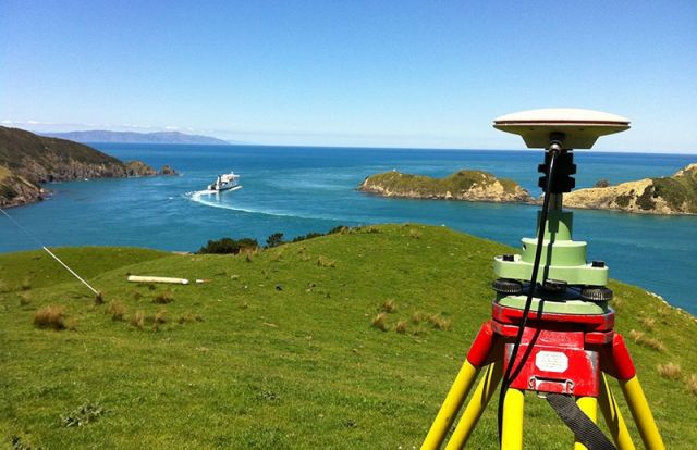
Read MoreQueen Charlotte Sound
Queen Charlotte SoundOur daily work often includes beautiful views of the Queen Charlotte Sound.
Read MoreBarnes Dam in Picton
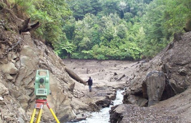
Barnes Dam in PictonWater storage volumes can be accurately calculated following the construction of a dam.
Read MoreStructural Monitoring
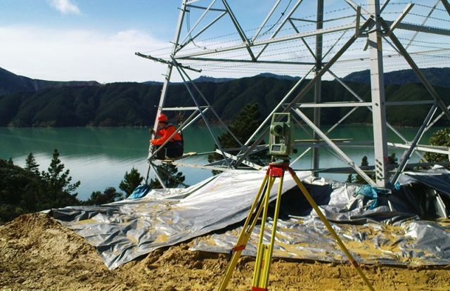
Structural MonitoringFollowing earthquakes, natural disasters, deformation or settlement, certain stuctures need to be assessed or monitored, including pylons, buildings, bridges, dams or walls.
Read More
